DESCRIPTION
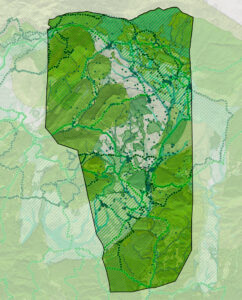
The municipality of Alpuente is located in the north-western area of the province of Valencia, about 100 km from the provincial capital, in the Los Serranos region . It imitates to the north with the province of Teruel (Aragón). The municipality has an area of 138 km² where various population centers or villages are located, in addition to the Villa de Alpuente:
- Inhabited villages: La Almeza, Baldovar, Campo de Abajo, Campo de Arriba, La Canaleja, El Collado, Corcolilla, La Cuevarruz, Las Eras, El Hontanar and La Torre.
- Other villages where there are only second residences: La Carrasca.
- Uninhabited villages: La Hortichuela, El Chopo, Berandía, Benacatácera, Vizcota, Cañada Seca and Pozo Marín.
Alpuente’s polynuclear structure is one of the identity elements of the town and has left an important mark since time immemorial, on a territory of great beauty, alternating valleys with mountains populated with junipers, oaks, pine and other endemic species. The term is rich in mineral resources and it also has an important agricultural sector, from which a large part of the population lives.
If anything characterizes Alpuente, it is its extraordinary patrimonial wealth, understood in a broad sense . That is why the four sections of the Catalog of Protections that accompany the complete document of the Alpuente General Structural Plan, provide a remarkable amount of information in the field of landscape, natural heritage, culture and democratic memory.
What should preside, in our opinion, any decision can be taken regarding the future of the people is the need to coordinate measures and models (in this urban case) to combat depopulation . If the European Parliament considers that they present an extreme risk of depopulation, the areas with a density of inhabitants below 8 inhabitants per square kilometer, in Alpuente, with a density of 4.66 inhabitants. / km², compared to a provincial average of 235.12 (ARGOS 2017) and a gradual process of population loss, all alarms should go off.
The objectives of the new general plan are the following:
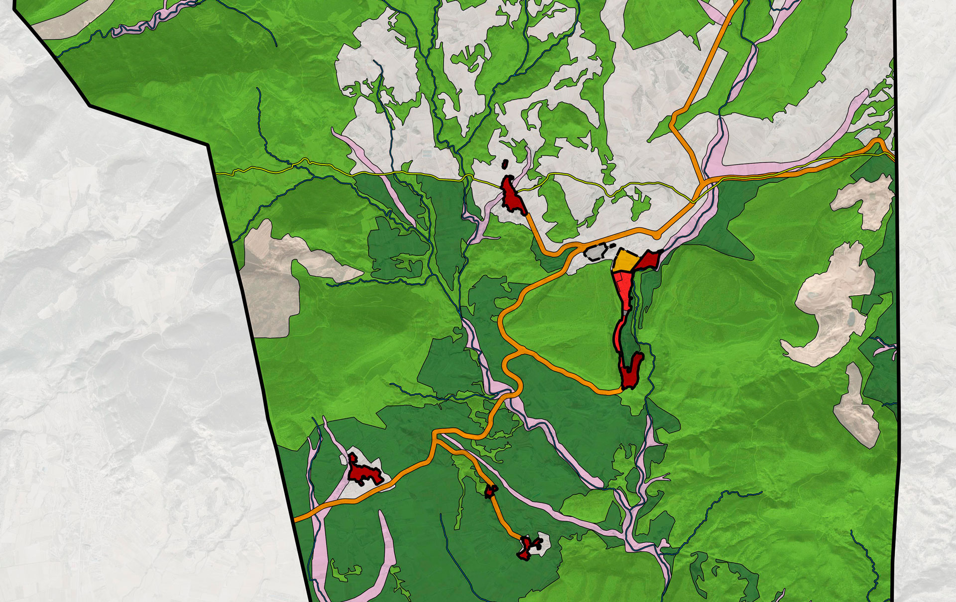
- From an environmental and landscape point of view, the attribution to a large part of the rustic land, of the degree of protection that is proper and necessary to safeguard its values, raising protection to 86.38% of the municipal area.
- With regard to protected undeveloped land , which accounts for most of the municipal term, the establishment of a regulation that, to guarantee its better conservation, allows the possibility of carrying out the activities that have traditionally been developed in it ( and they have allowed us to enjoy the territory that Alpuente offers today), as well as others linked to leisure and adventure sports, as proposed by Agenda 21.
- The zoning of rustic land with the highest possible degree of detail, incorporating in it a precise delimitation of all uses and, in particular, of those that have a greater environmental impact, that is, extractive uses. In rustic unprotected areas, the specific indication of agricultural activities and the recognition of their compatibility, taking into account the essential role in the local economy.
- The preservation of areas where there are natural risks, specifically flooding, of new growth, keeping only the sealed soils of historical origin and great cultural value.
- The delimitation of the perimeter of the urban land in all the villages and the articulation of a regime that allows the recovery of the buildings of historical origin that exist in its periphery and constitute a substantial part of the heritage and urban landscape of these towns. The aim is not to classify these areas as urban, but rather to regulate a regime in which “simpler urbanization requirements derived from their moderate density, their sour environment and their low motorization” are legitimized . In the case of the abandoned or semi-abandoned villages of El Chopo and Cañada Seca, whose urban structure is preserved or can be recovered, without changing the classification of the soil, the delimitation of two Special Plans on undeveloped land is established. If in the future a more appropriate mechanism is arbitrated, the current legislation at that time will be followed.
- The adequacy of the growth forecasts for the sealed land to the thresholds set in the ETCV and to the real expectations of the municipality, from a containment perspective, which necessarily entails the reduction of the developable land foreseen in the PGOU that began to be processed in 2010 and also , of urban land in some peripheral areas of villages, where it is considered unnecessary to program new land, when there are vacant lots and many buildings for sale, within the currently sealed land.
- The forecast of new productive land in sufficient quantity to favor, in the shortest possible time, the incentive to create companies and the transfer, in an orderly manner, of some activities to the new sector.
- The identification of all the local heritage and its protection in the corresponding Catalog of Protections, so as to guarantee its preservation, promote appreciation and respect for it by neighbors and visitors, and interpret this wealth as the basis for promoting quality cultural and leisure tourism.
- The delimitation, in its fair measure, of the provisions for green areas, school equipment and homes subject to some protection regime, even though a large part of those provisions seem excessive and unnecessary.
- The incorporation of urban planning regulations adapted to all the current sectoral regulations, supra-municipal protection figures (Natura 2000 Network) and current, contrasted and rigorous criteria for regulating this type of area.
DETAILS OF THE PROJECT
Locality: Alpuente (Valencia, Spain); Promoter: City Council of Alpuente; Municipal term area: 13,816 Ha.; Urban Land: 54 Ha.; Able for urbanise Land: 8 Ha.; Not able for urbanise land: 13,754 Ha.; Population cores: 13; Processing status: Definitely approved


