DESCRIPTION
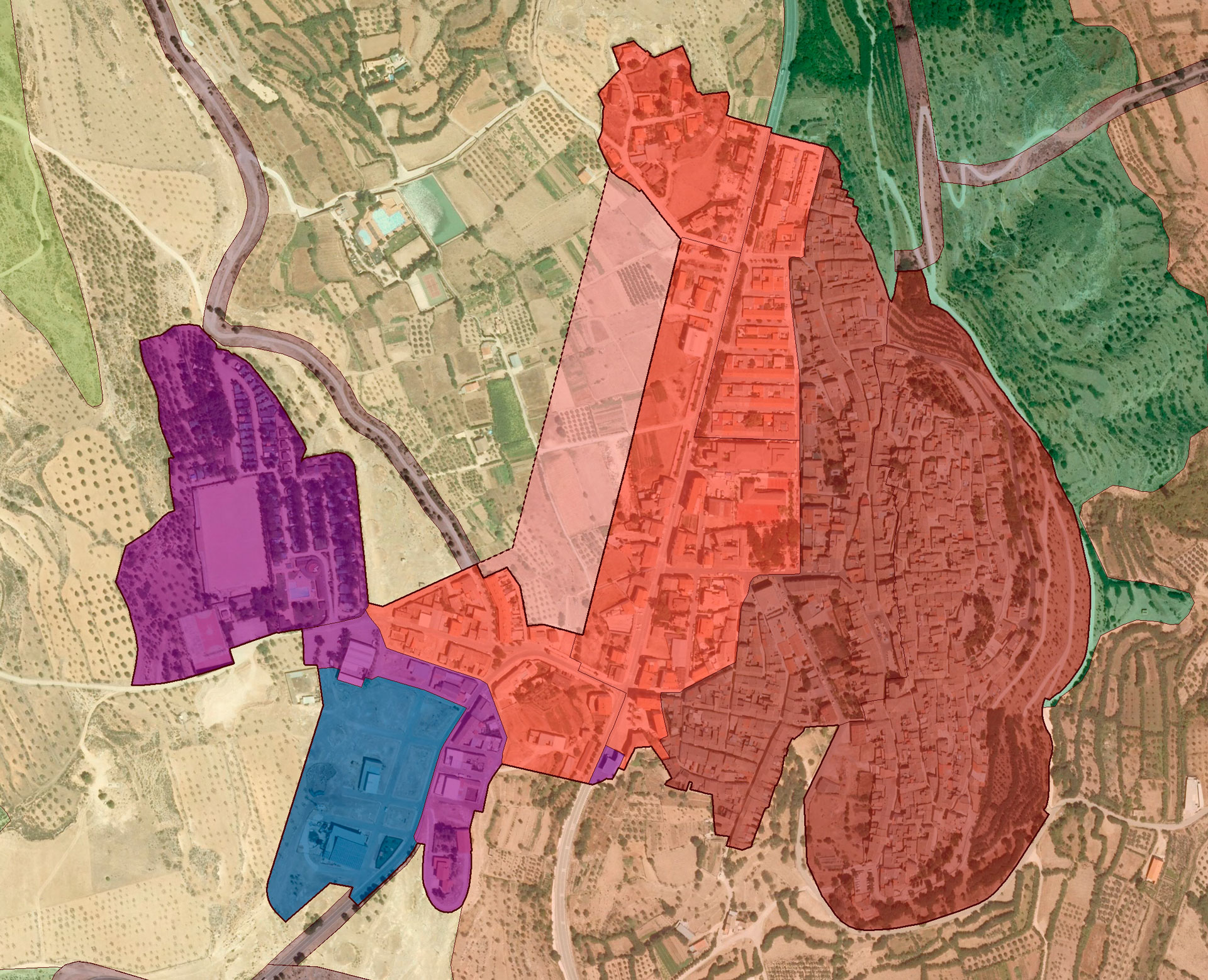
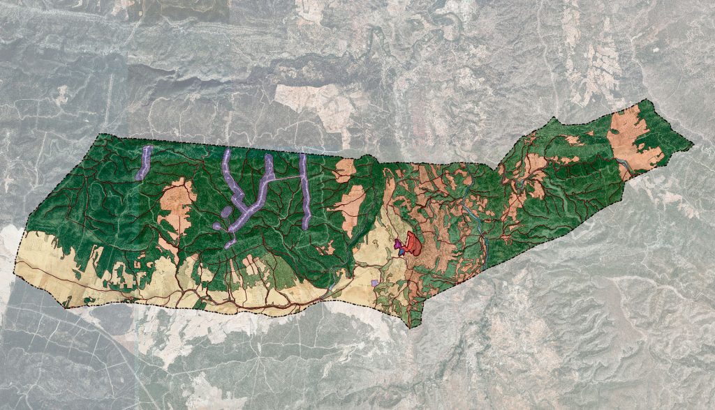
The municipality of Jarafuel is located in the Valencian Community, in the province of Valencia, 120 kilometers from the capital. It belongs to the region of El Valle de Cofrentes-Ayora, being located in the center-west of it. This region, made up of 7 municipalities, occupies an area of 1,141 km² and welcomes a population of 10,257 inhabitants, with which its average population density is 8.99 inhab / km². Jarafuel, with a population density of 7.52 inhab / km², somewhat lower than the regional average, contributes 7.53% of the population, with 776 inhabitants and 9.03% of surface, 103.1 km².
The Jarafuel city council began processing the general plan in 2009, then entrusting another drafting team with the start of work. The first team only prepared the preliminary phase of the plan and did so following a model that still carried the characteristic trend of the first five years of the 21st century, that is, it presented a clear hypertrophy in the forecast of its growth. This excess abounded in that indicated by the Subsidiary Norms, which also erred in their development expectations.
AUG-ARQUITECTOS, SLP took over the writing of the general plan, which was renamed the Structural General Plan (PGE) and which pursues the following:
- Expansion of the elements of the Green Infrastructure, previously identified in the information phase and to which they are joined, not only those that the PGE interprets as such (many more than those indicated in the Generalitat cartographic viewer), but also those that will be generated as a result of the development of the determinations of the PGE and the Detailed Ordination Plan (hereinafter POP)
- Incorporation of landscape criteria in land management, so that the areas defined as susceptible of being incorporated into the sealed soil do not present relevant environmental and landscape characteristics, are close or contiguous (as is the case) to the urbanized soil and their impact is as little as possible, safeguarding in any case the visual basins.
- Establishment of a soil classification adapted to the criteria of rational and sustainable occupation and taking into account the landscape and morphology criteria of the territory, as established by Decree 1/2011, of January 13, of the Consell, which approves the Territorial Strategy of the Valencian Community ETCV), significantly reducing the initial proposal of new development areas for residential use and limiting it to what is strictly necessary and justifiable, without limiting the possible growth expectations of the town. In addition, the new growth areas are integrated into urban land execution units subject to programming. All this, based on the analysis of the vacant land that currently exists, contrasted with the real expectations of population evolution, both stable and floating, and according to the aforementioned report.
- Consolidation – through land management and free of charge to public coffers – of a public green ring, made up of parks, green areas and bicycle and pedestrian routes, which borders much of the consolidated land. Articulation of a model that justifies compliance with articles 24 and 36 of the LOTUP, relating to the provision of green areas per inhabitant and 75, relating to the General Rules of equidistribution for the fields of integrated actions.
- Rational and orderly completion of land for industrial use, whose urbanization currently lacks functionality, as its streets collide with undeveloped land. By “rational”, we understand the minimum and essential occupation of land.
- Elaboration of ordinances adjusted to the vernacular architecture (collected in relation to urban land, in the P.O.P.), so that effective protection of the Traditional Historical Nucleus-Property of Local Relevance is achieved.
- Application of the system of integrated actions to all land without consolidated urbanization, (in 0.07% of the term).
- Articulation of an urban development model that minimizes or eliminates the use of the expropriation method as a tool for achieving urban objectives, by assigning most of the public endowment land pending acquisition to some area of urban management.
- Protection of rural or undeveloped land (natural and agricultural), in accordance with the criteria of current legislation, the ETCV and the various recently approved territorial action plans, with an impact on the territory, without thereby preventing agricultural uses, inherent to a nucleus of the Rural System, wherever possible, as there is no risk of aquifer contamination. Likewise, actions on the lands affected -or pending- are prevented by actions to modernize agrarian structures, unless the refund to the Autonomous Administration of the amounts invested, plus the corresponding legal interest, is guaranteed, in accordance with the established in article 45 of Law 8/2002 of Modernization of the Agrarian Structures of the Valencian Community and the Order of October 17, 2005 of the Ministry of Agriculture, Fishing and Food by which the issuance of character reports is regulated territorial and urban planning, or the legislation that replaces them.
- Preparation of a Catalog of Protections that incorporates measures to value and preserve heritage, understood in a broad sense.
DETAILS OF THE PROJECT
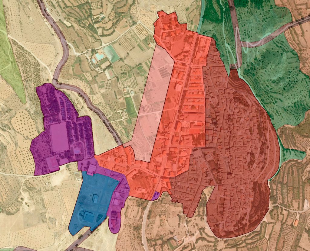
Locality: Jarafuel (Valencia, Spain); Promoter: City Council of Jarafuel; Municipal term area: 10,275 Ha.; Urban Land: 38 Ha.; Able for urbanise Land: 3 Ha.; Not able for urbanise land: 10,234 Ha.; Population cores: 1; Processing status: In process


