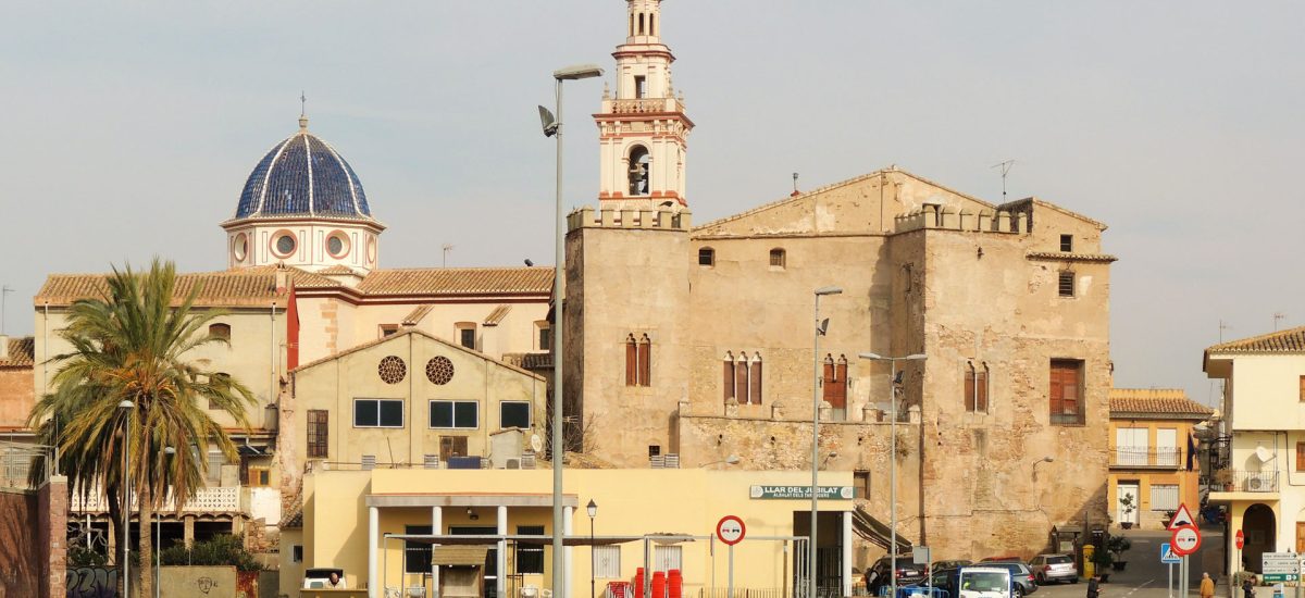
The City Council of Albalat dels Tarongers (Valencia), in a session held on November 30, 2023, agreed to submit to public information and consultations the Initial Version of the Master Plan and the Detailed Planning Plan, taking a step more in the global review of your planning. The organized territory is a municipality located in the northern area of the province of Valencia, about 31 km from the provincial capital and 7 km from Sagunto, in the region of Camp de Morvedre. The municipal area limits to the north and west with the municipality of Estivella, to the north and east with Sagunto, to the south with Gilet and to the west also with Náquera and Segart.
Albalat has an area of 21.35 km². The main population center is Albalat dels Tarongers and there are other small urbanized centers on both sides of the Palancia river, such as the La Caixa, Carretera de Segart and Pla de Pavía urbanizations. Likewise, scattered throughout the territory there are isolated homes or even small groups of these built on rustic land. Albalat dels Tarongers is located in the Sierra Calderona, within the Natural Park located between the provinces of Castellón and Valencia.
The municipality is crossed by the A-23 Sagunto – Somport highway and the N-340 highway, with direct access to both. The highway divides the municipal area into two clearly differentiated parts; The northern area, where the main population center and the La Caixa Urbanization are located, is a relatively clear territory, in terms of zoning, although dotted with scattered, non-regularized buildings. The area located south of the highway, within the Sierra Calderona Natural Park, is a wild and wooded territory, with two recognized urbanizations and a large number of scattered homes, pending regularization.
The plan, taking into account the limitations imposed by the Territorial Strategy of the Valencian Community and the sectoral reports received, does not propose growth of the sealed land and concentrates on the vacant and ordered urban land, the development of new buildings for residential and industrial use. The PGE and the POP have been prepared, therefore, with self-containment, but also with rigor and precision, without giving up strategic objectives regarding the planning of rural and urban land, without neglecting the protection of heritage. The proposed planning avoids elaborating on the polynuclear model that was promoted during the last century and identifies the buildings on rural land pending legalization, delimiting 48 areas subject to minimization of territorial impact, which represent 1502975 m² of surface and in which there are 956 plots built.


