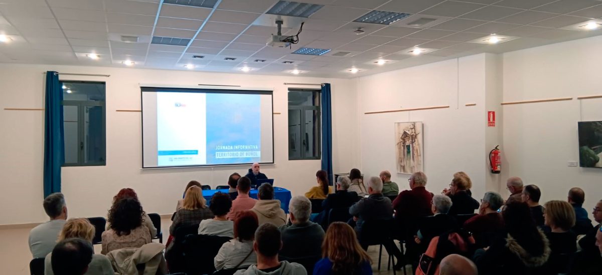
The Raga Room of the Molino del Galán, of the Buñol City Council (Valencia) has been the setting chosen to promote public participation linked to the landscape instruments of two modifications of the local planning that the Buñol City Council commissioned from the company AUG-ARQUITECTOS SLP . With the presentation made by Dr. Forest Engineer Ignacio Díez Torrijos and his team, collaborators of AUG-ARQUITECTOS SLP and with a significant attendance of the public, the opinion of the attendees was expressed in relation to the landscape that will be affected by these performances.
Buñol’s planning is included in Subsidiary Standards from 1987, various specific modifications and various development plans. The review of the instrument or its in-depth modification is, therefore, essential, which explains the order made by the city council and included in two modifications, one for structural planning (M13) and another for detailed planning (M14).
The main objectives of the M13 are the following:
- Incorporation of the existing school facilities into urban land.
- Incorporation into urban land of the endowment land provided for in the NNSS.
- Incorporation of adjacent green areas and existing school facilities into urban land.
- Reclassification of non-developable land to developable land for residential use in order to promptly finish off urban edges.
- Reclassification of non-developable land to developable land for industrial use, in areas adjacent to existing industrial estates.
- Declassification of undeveloped urban land, with the aim of regularizing urban edges.
- Change to dominant residential use in urban areas adjacent to the urban core.
- Reclassification to multiple residential use of the old cement factory to promote its conservation and transformation as a large public facility.
- Requalification to multiple endowment use of old paper factories.
- Possible partial reclassification of a public green area located on non-developable land.
- Allow division into execution units
- Assignment of endowment land pending to be obtained to new developments.
- Delimitation of Areas for minimizing territorial impact on non-developable land.
- Regulation of photovoltaic installations on non-developable land.
- Adaptation of land classification to the current and planned layout of large territorial communication infrastructures.
The M14, for its part, pursues the following:
- Correction of alignments, adaptation to the new cartography
- Reclassification of the use of the station and adjacent plot
- Delimitation of undeveloped management areas to be maintained with detailed organization.
- Delimitation of undeveloped management areas to be maintained without detailed management
- Elimination (updating) of already developed management areas.
- Delimitation of new management areas in areas pending development with detailed planning.
- Delimitation of new management areas in areas pending development without detailed planning.
- Assignment of the pending endowment land to new developments.
With the encouragement of participation and the conclusions that can be drawn, the writing team will have valuable information to consider in the proposal phase of both planning instruments.


