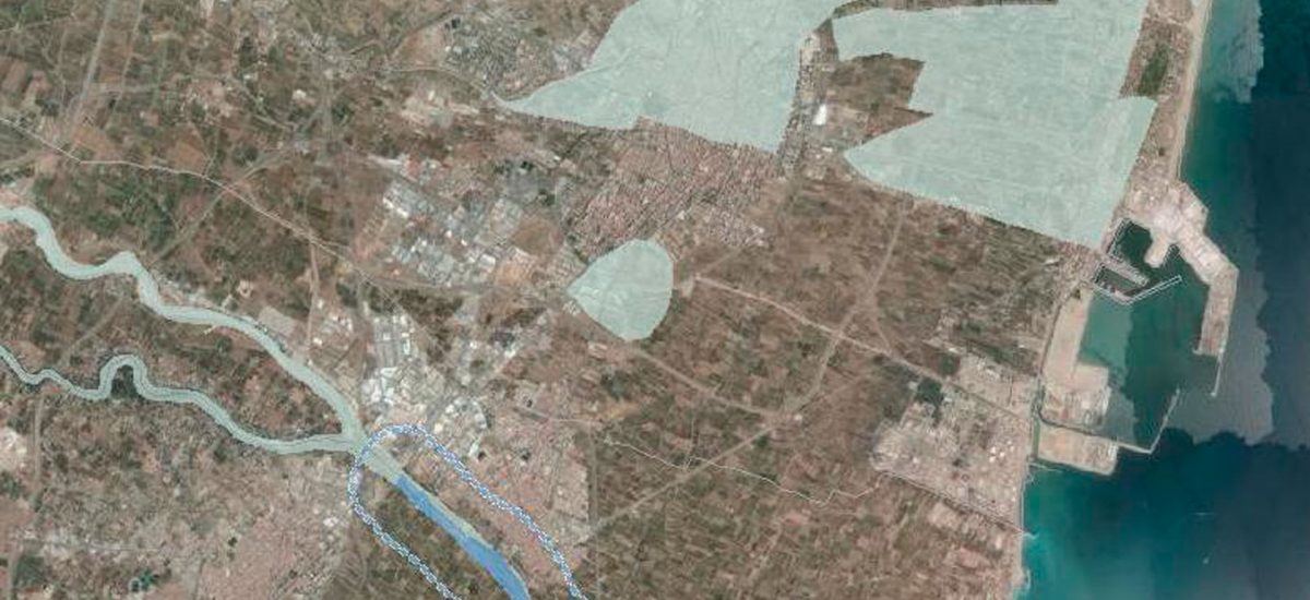
The Government of Valencia has impelled a review of one of his oldest territorial plans, specifically, that dedicated to prevent flood risk. This review comes at a time when the competent authority in the matter, namely the Ministry, provides a detailed mapping which refers to the same problem and faces it more rigorously than the new proposal of the Autonomous (Valencian) Administration does. The contrast of the two cartographies -i.e. the Central Administration of the State and the Valencian Government- not only highlights the shortcomings of the latter, very difficult to understand with current technology, but it also reveals significant inconsistencies between their respective contents.


